There are a number of walking tracks in our local area that range from easy to extreme in difficulty and duration. Call in at Visitor Information Centre for your DOC maps, Back Country Hut passes, hut tickets & bookings, Great Walk bookings and Personal Locator Beacon hire

Te Aroha Hot Springs Domain - Whitaker Street.
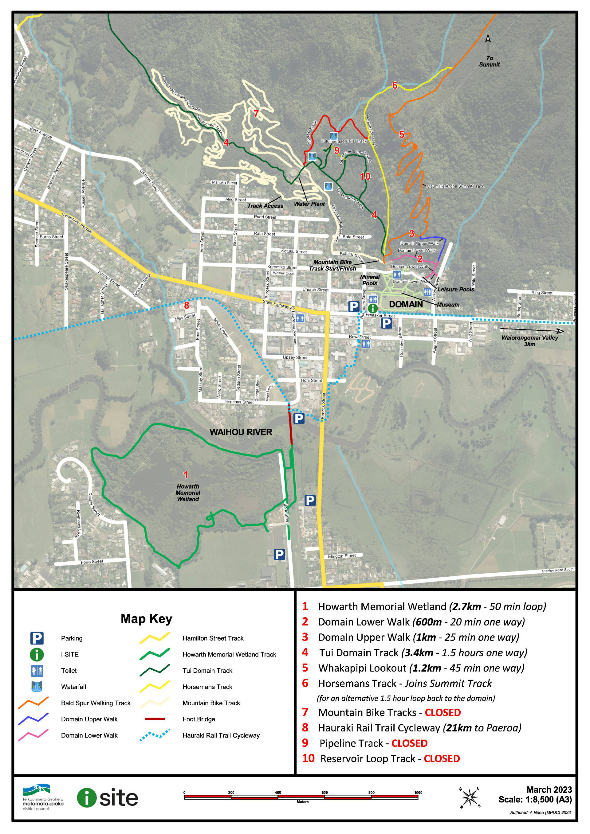
Pick up a guide from Visitor Information Centre and stroll around the charming Edwardian Domain. Walk back in time to the late nineteenth century when the medical benefits from bathing, as well as drinking the waters from geothermal springs were highly regarded.
Walking time: 20 minutes round trip
Difficulty: Easy
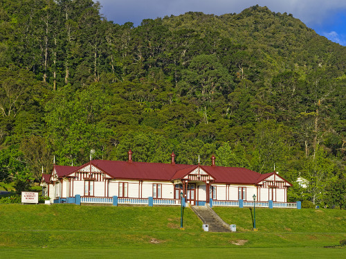
Te Aroha and District Museum
Established in 1971 and is cared for by a dedicated team of volunteers who can bring to life for visitors, the memories of a bygone age in Te Aroha. The displays of hydrotherapy equipment, Te Aroha Domain China and a collection of ‘Lemon & Te Aroha’ bottles are among the many fascinating treasures to be found. Open 7 days.
Visit the Te Aroha Museum website for current exibits and pricing or phone +64 7 884 4427.
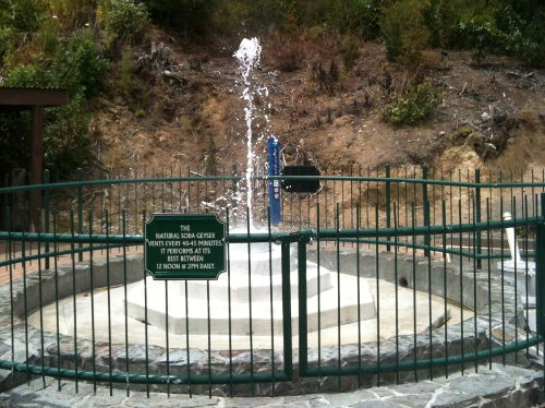
Mokena Geyser
From the Domain gates on Whitaker St, walk through the park up to behind the Mineral Spa building. From a depth of approximately 70 metres, the Geyser provides a source of crystal clear hot soda water and geysers at around 40 minute intervals.
It is named after the Maori chief, Mokena Te Hau who once owned the Domain land. His memorial Cairn is next to the Gazebo, formerly the No.8 Drinking Fountain .
Walking time: < 5 minutes round trip
Difficulty: Easy
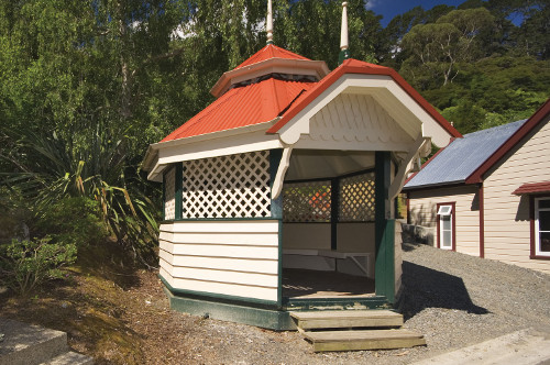
Gazebo (formally the No. 8 Drinking Fountain)
The octagonal pavilion was built over a cold soda spring renowned by some locals for aiding digestion. It went very well with lemon and a dash of something more, apparently! Now it is used for taking shelter from the sun or rain or just resting weary legs after a hike up Mt Te Aroha
Walking time: < 5 minutes round trip
Difficulty: Easy
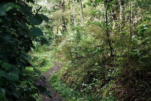
Lower Domain Walk
Beginning at the Mokena Geyser this is a lovely short bush land walk suitable for pushchair/wheelchair access. Pass the No.20 – iron spring and No.21 – magnesia spring and finish at the Te Aroha Leisure Pools.
Walking time: 20 minutes one way
Difficulty: Easy
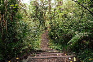
Upper Domain Walk
This walk begins on the Whakapipi (Bald Spur) track and features a large kauri tree. You then branch off to the right past an old water reservoir, through the bush and link up with the Lower Domain Walk at the No.21 magnesia spring.
Walking time: 25 minutes one way
Difficulty: Easy
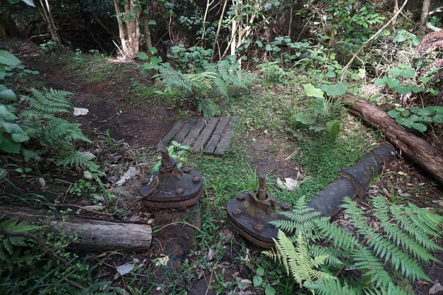 Reservoir Loop Walk (CLOSED)
Follow the Tui Domain track and detour to the No.22 or ‘honeymoon’ spring where newly married couples would dip their wedding ring into the spring to ensure a long and happy marriage. Continue up around the old town reservoir and return to Domain.
Walking time: 25 minutes round trip
Difficulty: Medium
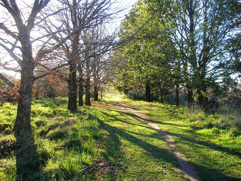
Howarth Memorial Wetland Loop Walk
Lovely, mostly flat walk around established bird sanctuary, following the Waihou River through one section. Perfect for early morning or evening walks. Access from Spur St or via footbridge at end of Lawrence Ave or by boardwalk at Skidmore Reserve on Kenrick Street.
Walking time: 45 minutes round trip
Difficulty: Easy
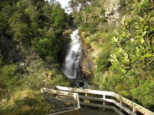
*Please note: track partially closed due to damage from Cyclone Gabriel. To reach Tutumangao Falls, please continue along Tui Domain Track to the water treatment plant. Turn right onto the tar sealed road and walk up behind the timber tank. The track continues in a semi-circle past the Quarry Falls and around to a short track on the left which will take you up to Tutumangao Falls and a lookout. Time : 15mins approx.
*Please note: the bridge at he Tui Rd end of Tui Domain track is currently out due to damage from Cyclone Gabriel.
Starting at the Mokena Geyser this track takes you through regenerating bush and shallow mountain streams. There is a 5 minute detour to the Tutumangao Falls and lookout over the town before reaching the junction with the Tui Link track and finally emerging on to Tui Road, near the tailings dam.
Walking time: 1 hour 30 minutes 1 way
Difficulty: Easy
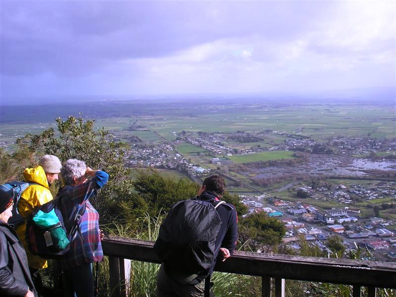
Whakapipi Lookout (also known as Bald Spur track)
Starting at the Mokena Geyser, the track zigzags its way through mature pines and pūriri that were planted in the early 1900s. The Whakapipi lookout provides a stunning view of Te Aroha township, the wetlands, river and beyond. Mt Aroha Mountain Track (see below) continues on through a saddle and then steeply up for another 2 hr to the summit of Mount Te Aroha.
Walking time: 45 minutes one way
Difficulty: Medium
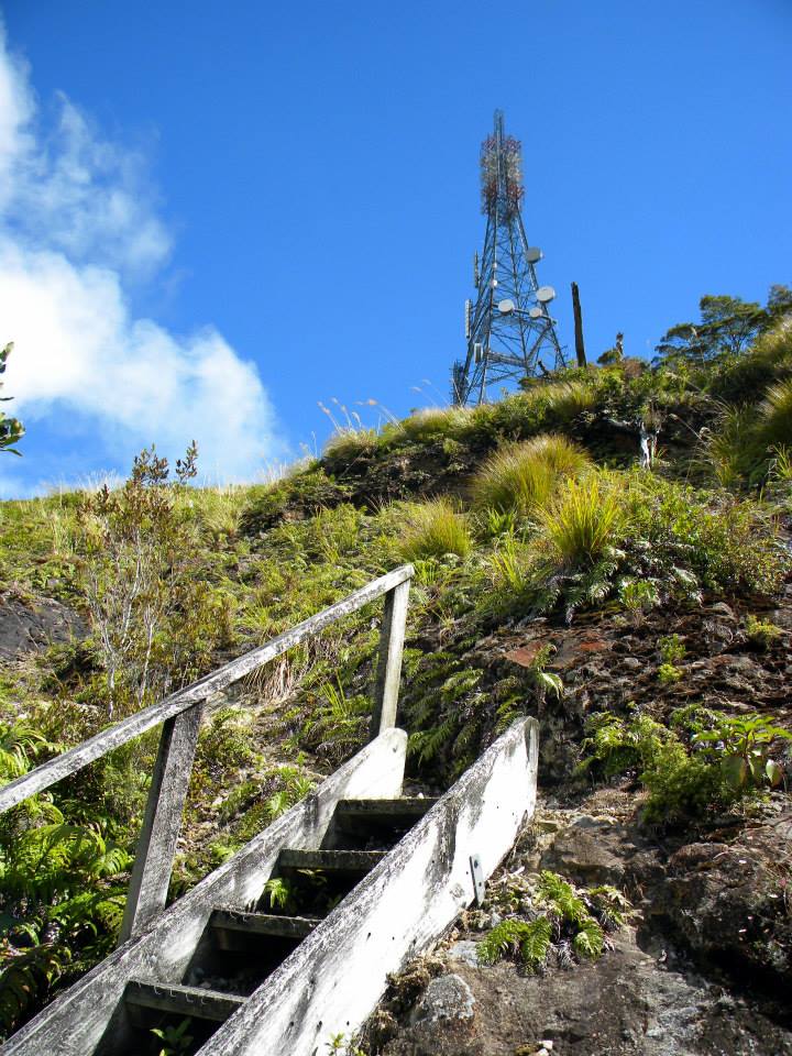
Mount Te Aroha Summit Track
*Please note: the bridge at he Tui Rd end of Tui Domain track is currently out due to damage from Cyclone Gabriel.
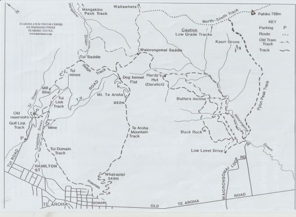
This track ascends almost 1 km. Follow the track from the Mokena Geyser in the Te Aroha Domain up the well benched track for 45 minutes to the Whakapipi Lookout which offers views over the Hauraki Plains. The Kaimai-Mamaku Conservartion Park begins just above the lookout. The track continues through a small saddle and then steeply up for another two hours to reach the summit. The track becomes steep and the surface is rough.
The summit of Mt Te Aroha provides 360 degree views across the Waikato and Bay of Plenty. Ruapehu, Ngāuruhoe and Taranaki are visible on a clear day. Be prepared for alpine weather conditions at the summit. Return to Te Aroha via the same track (most direct route). or take the track signposted 'Dog Kennel Flat' to loop back around the mountain, past the Tui Mine site and along the foothills via the Tui Domain Track.
Walking time: 2.5 hours 1 way, 4 hours return; 5-6 hours if returning via Tui Mine site
Difficulty: Medium-Hard
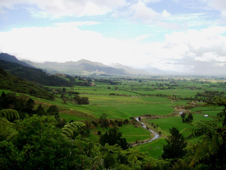
Waiorongomai Valley
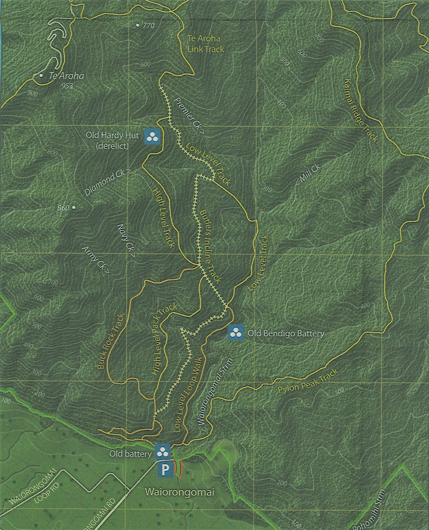
Spend and hour or a whole day exploring the extensive network of tracks in the valley. Follow New Zealand's oldest tram-line and discover historic gold mining sites with much restorative work done by DOC.
Walking time: Ranging from 30 minutes to 5 hours
Difficulty: Easy-Hard depending on which tracks you choose
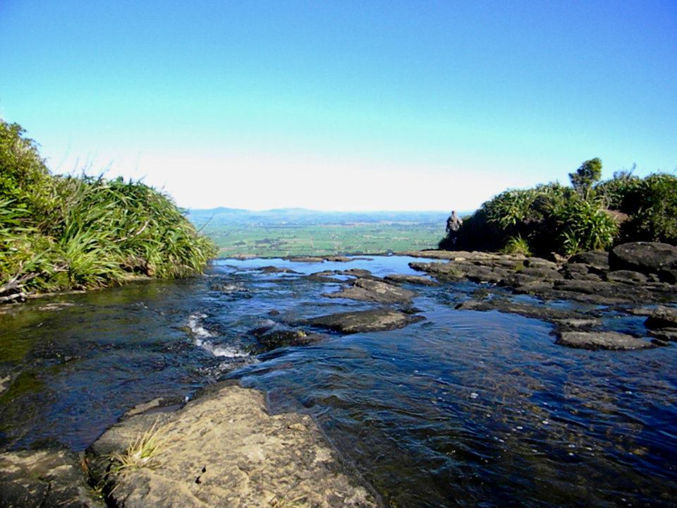
Wairere Falls
20 minute drive south of Te Aroha. From the car park at Goodwin Rd the picturesque track features mossy green boulders and bridged mountain stream crossings. Walk 45 minutes to the viewing platform and see the spectacular 153m, two stage drop. The track continues another 45 minutes up to a lookout platform at the top of the falls. There is a magnificent view looking back over the valley and the Waikato Plains.
Walking time: 1 hour and 30 minutes one way
Difficulty: Medium


